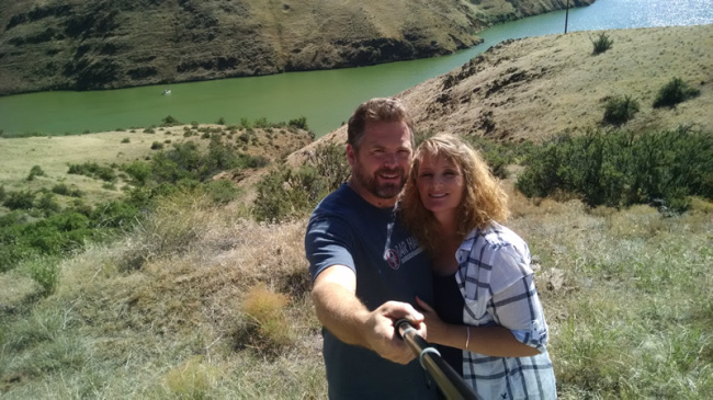
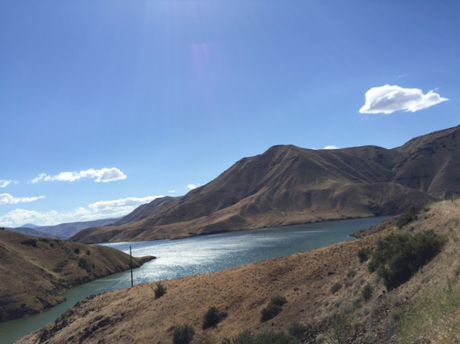
Ann loves her selfie stick! Here we are in front of the upper reservoir of Hells Canyon along the Snake River.
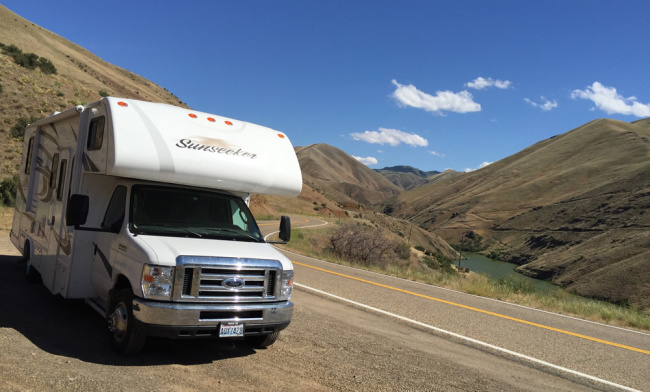
We had a good time during our recent trip to Hells Canyon. It wasn’t hellish at all! From Boise, we followed I-84 north until it reached the juncture of US-95. We followed US-95 until it reached the tiny town of Cambridge. From there we followed State Highway 81, a curvy and hilly (some 7% grades) road. Given we were driving the motorhome our trip along that road was pretty slow. We followed it over hills and through valleys until we dropped (steep drop) into the Brown Lee reservoir (fed by the Snake River) and found the Woodhead Campground, one of several campgrounds operated by Idaho Power in the area. We didn’t look at the campground too closely, but there were trees and manicured grass among the camping slots.
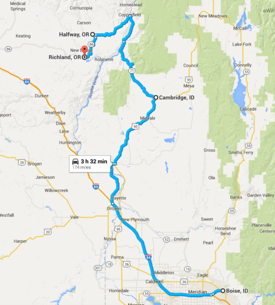
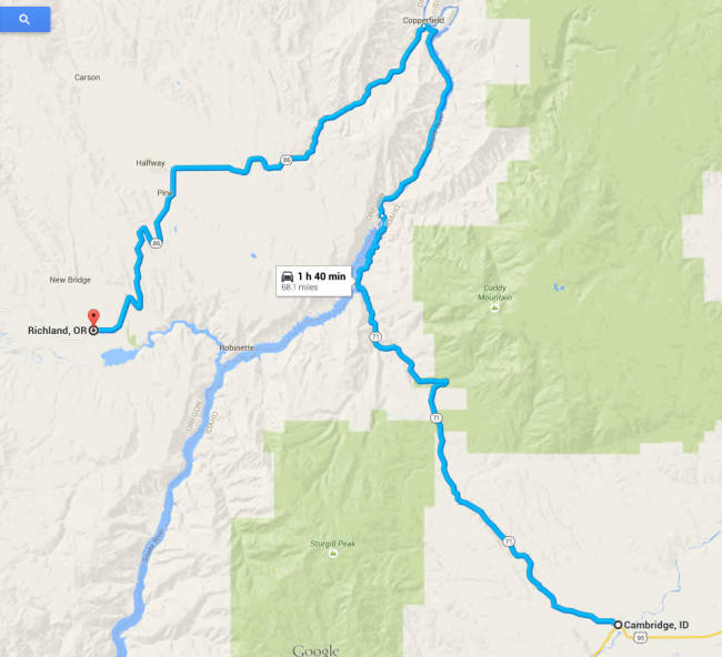
An overview of our drive from Boise to Copperfield on Friday the 19th. We camped at the Copperfield campground then drove on Saturday home via Richland, Oregon.
Shortly after the Woodhead campground, the road hugs the reservoir’s bank as it passes by the Brown Lee Dam, after which the road drops steeply again. The road levels out, taking drivers across a bridge that spans the river. At that juncture is a second campground, McCormick. It was a gravel circle on which people camped in a horseshoe fashion. We didn’t care for it, so we continued driving.
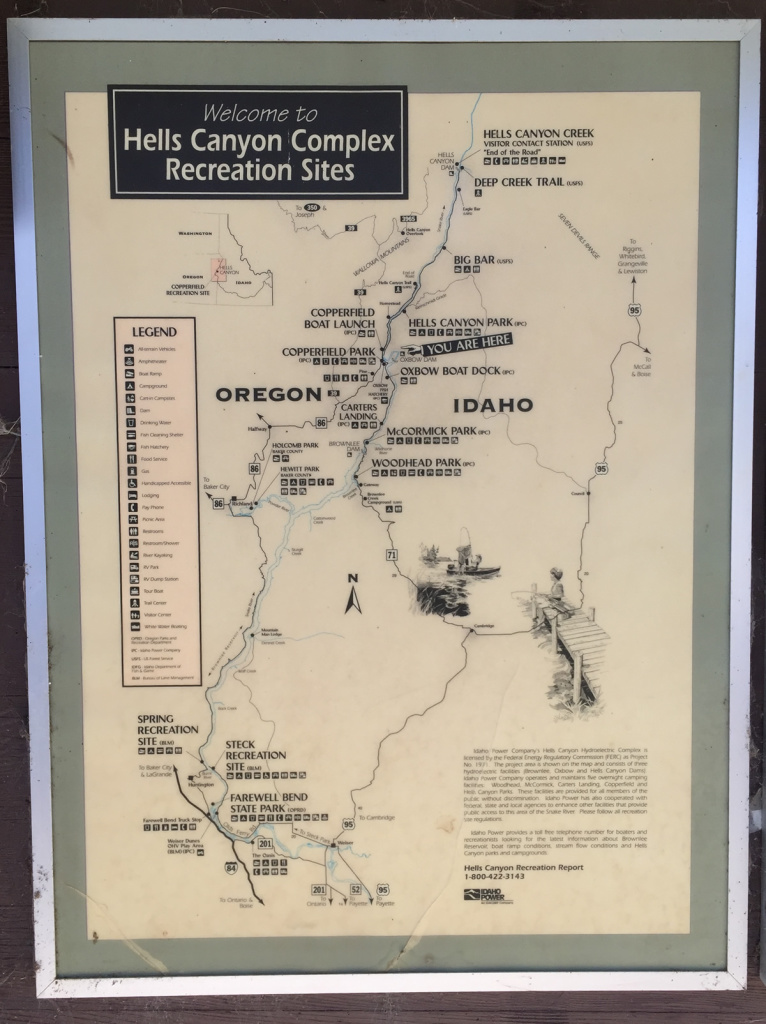
A very helpful map that identifies the camping and boat ramp locations in the southern part of Hells Canyon.
A few miles later we arrived at the Copperfield Campground. The campground is nestled among the hills and road on one side and the water on the other. It was pretty full, but we still managed to find a good spot with privacy. Though the road was above us, there was virtually no traffic, even on a Friday. We found the location peaceful. We never checked on the Hells Canyon Campground, which was a few miles north of Copperfield.
On Saturday we got on the road early. I’d hoped to take road 39 through the mountains and end up in Enterprise, but construction and advisories warned me against it (until construction was complete). I think I’ll save that drive for the jeep. Here’s a map of what how we might have gone:
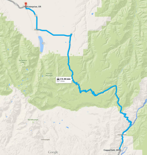
A future route I want to scope out in the jeep before trying it with the motorhome. The Wallowa Mountain area is beautiful, but rugged.
Instead of going to Enterprise, Oregon, we followed the highway to Halfway. Curiously, the small town has a flag pole in the middle of the street. I never did understand that:
From Halfway the road goes up and over a pass, then drops into the small community of Richland, Oregon. Much to our surprise, we ran into a traffic jam on main street (the highway was the main street). After peering past the lined up cars, we concluded the town was holding a parade. As part of the parade people were throwing candy to kids, who were running into the street to snag pieces and then scurrying back to the sidewalks.
Not wanting to wait for the long line of cars to finish the parade, I consulted my map, concluding there was a way to bypass the parade. I made a turn and followed a quiet backroad. After a few blocks, it looked like we’d passed the parade, so I turned back to the highway, only to discover we were smack dab in the middle of the parade. Worse, we had no candy to throw to kids. So, we rolled down the windows and waved as we drove by in the motorhome.
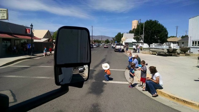
I”m trying to turn onto main street after taking a detour. I had to wait for kids, who were gathering candy from the previous parade car, to get back on the sidewalk!
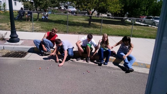
These older kids were too lazy to run into the street. If the candy didn’t land at their feet, they ignored it. We didn’t have candy to throw at them, so they kind of stared as we drove by.
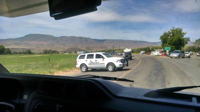
This policeman had to move out of the way so we could continue down the highway. Apparently, we weren’t supposed to be going that way. He didn’t seem to be too happy with us (but we didn’t know any better)!
After we left Richland, nothing much interesting happened, except for spotting a CJ-3B just north of the city. Turning around the motorhome to get a good picture proved too difficult, so if you want to see it, you’ll have to drive by yourself.

Dave, you and Ann look great in that photo. I would need a selfie stick at least 30 feet long before I’d begin to look good.
Well, if you take enough photos, one or two are bound to look good
Dave,

Great selfie: Ann’s new look is amazing… very nice. You’re a lucky man
No comment on how lucky Ann is… or my Jan for that matter