<– Day 37 – Apr. 25th: Carson City | OVERVIEW | Day 39 – Apr. 27th: Crying Babies and Grungie Folks –>
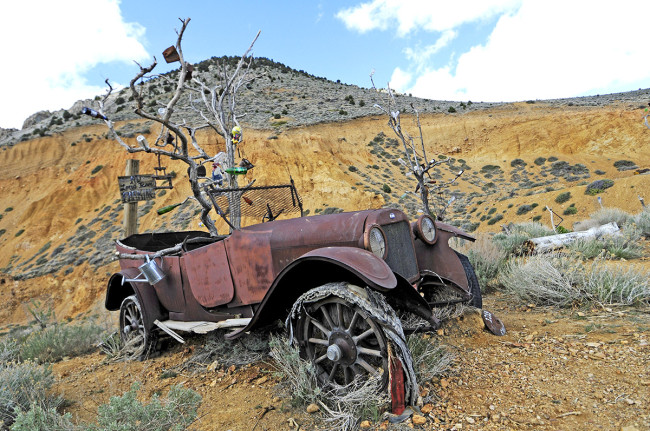
I found this tree, decorated with bottles, growing out of this vintage Oakland automobile near Virginia City, Nevada.
Anyone who has met Ann knows that she has a good sense of humor. So, it probably isn’t surprising that she had all sorts of fun teasing me about driving down ‘Virginia Street’ in Reno (one of the main streets) or noting it when we arrived at Virginia City. Yes, Virginia’s name is stamped all over the Washoe Valley! [Ed Note: this is due to the book I released in 2011, Finding Virginia]
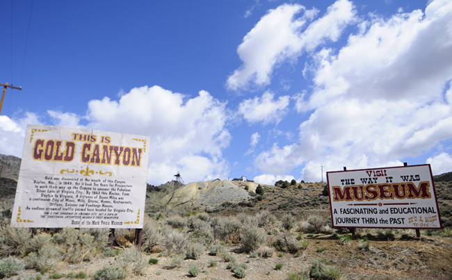
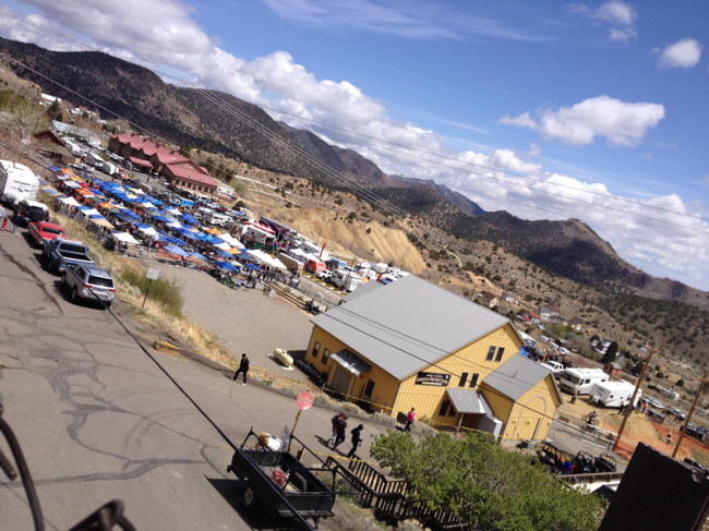
On Friday night it rained pretty hard, but by Saturday morning the rain had passed. Relieved at the partly cloudy weather, we ascended Highway 342 to Virginia City, which is in a valley surrounded by mountains. The landscape is pretty bare, except for the metal ghosts of mining operations.
We figured that given the cold and the potential rain and snow in Virginia City, there wouldn’t be many people. We hadn’t counted on a Motocross Rally! The town was packed with cars and motor homes. Just a couple of streets down from main street (actually C Street) was the start and finish of the race course. While not great timing for us, it seemed like a really great motorbike event.
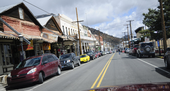
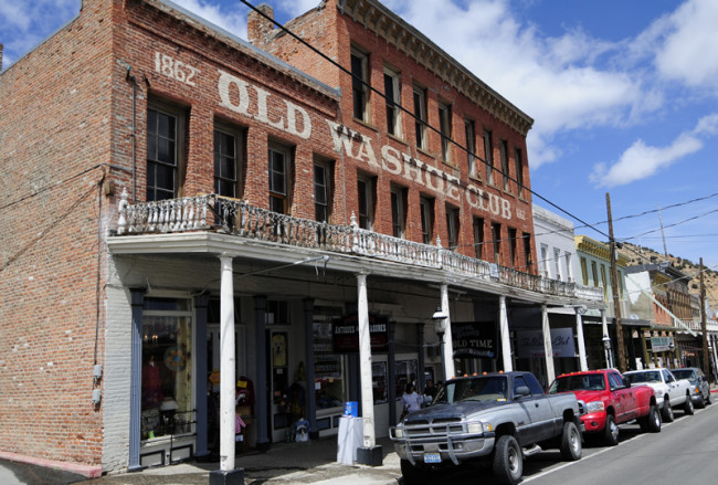
Virginia City has the largest historic district in the West. The former boomtown is famous for the 1800s Comstock strike, its old west feel, tourism, and ghosts. Anyone who has watched Ghost Adventurers on the Travel Channel knows how much fun they’ve had at this city. The Washoe Club was one of the places they investigated.
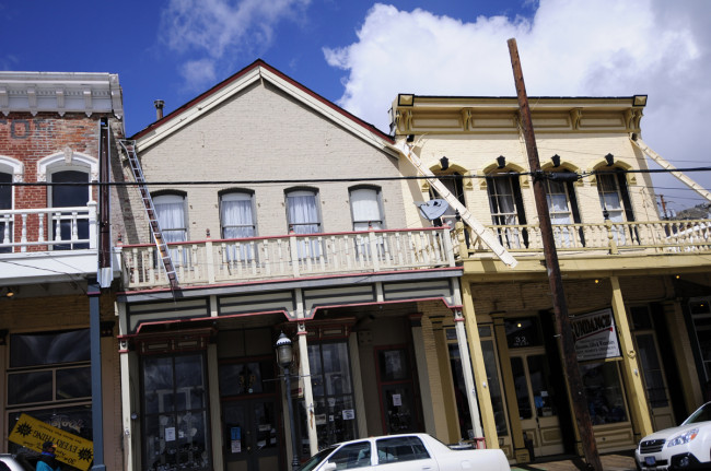
The place has a wonderfully authentic, old, creaky feel to it. Check out how the water drains pour water onto the street! There was still a little bit of water dribbling from them.
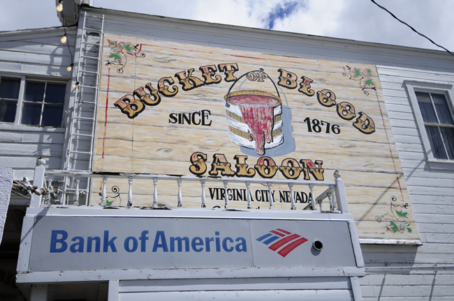
I thought the Bank of America cash machine positioned underneath this Saloon was pretty funny.
More pics from the city:
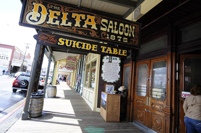
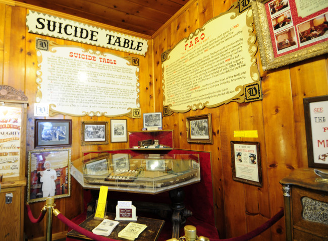
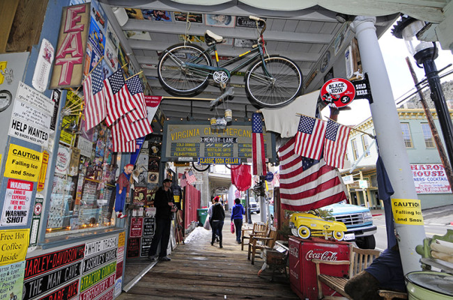
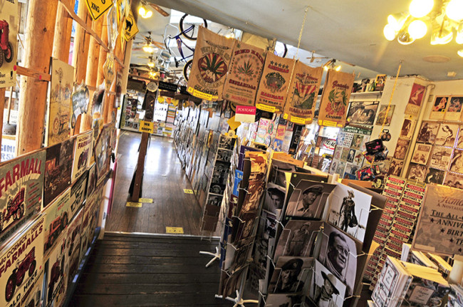 While there are plenty of museums and places to explore, we decided to keep this visit brief and revisit the place when the weather was warmer and the crowds fewer.
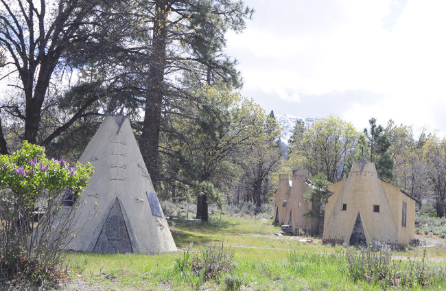
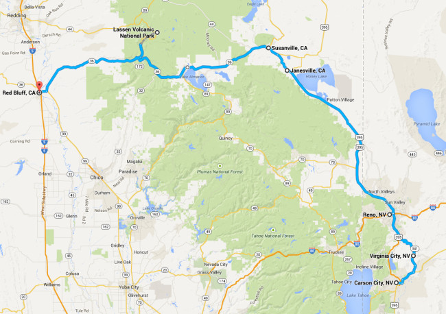
From Virginia City we drove north through Reno toward Susanville. Along the way, Ann remembered she had a gas station finder and price comparer. She told me that just before Susanville was a small tiny town called Janesville that had a good price on gas. We pulled off the freeway and drove a short distance on main street when we spotted these unusual structures. One was shaped like a teepee. The other three has teepee-ish facades, but rectangular-shaped backs. It appears to have been a motel of some kind.
 Susanville isn’t far from Janesville. It’s a peaceful looking town at the eastern foot of the Sierras. After Susanville, Highway 36 shifts dramatically from a desert drive to a tree-lined ascension into the Sierras. We soon ran into snow and the gray clouds in front of us appeared ready to dump some more.
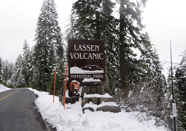
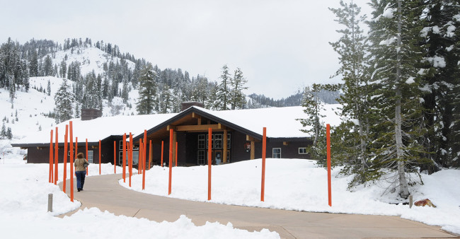
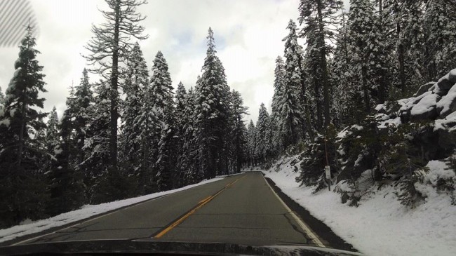 Roughly half-way between Susanville on the eastern side and Red Bluff (our destination for the night) on the western side is the entrance to Lassen Volcanic National Park. Since Ann has a friend named Lassen Peak (one of his ancestors named the peak or was named for the peak — the last name just happened to work out that way . . . lol) Of course, we had to make a stop at the park to pick up a t-shirt. But, as soon as we arrived, the snow started falling.
Believe it or not, on the way out of Lassen National Park was drove past two CJ-2As with no tops driving up to the park. Unfortunately, we didn’t have our cameras ready. We debated turning around, eventually deciding to wait for them to return. They didn’t and we felt we need to go in case it did start to snow more. So, we missed the jeeps!
Sunday we will be heading for the coast and Eureka via Redding, Monday we head to Redwood National Park.
<– Day 37 – Apr. 25th: Carson City | OVERVIEW | Day 39 – Apr. 27th: Crying Babies and Grungie Folks –>
So, you really did find Virginia. This one is only capable of stealing your money.
**Steve E.**