<– Day 14 – March 31: From Wolverine Loop to Cathedral Valley | Overview | Day 16 & 17 – Burgers and the Terra Tires Challenge –>
After a night of light rain, we woke up to sun and clouds. I wished we had a few days to relax, jeep and hike, but we had to return to Salt Lake to have an April Fools’ dinner in the evening with my kids, so we broke camp early in the morning.
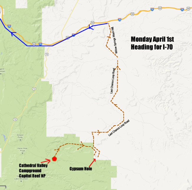
To leave Cathedral Valley we had two options. We could go back the way we came (drive south then take the highways north) or head north towards I-70 and hope we could make it. The day before I asked the National Park Ranger if the roads led all the way to I-70. He said we could make it if we knew what we were doing and had a map of the area.
I felt we knew what we were doing, but we lacked an accurate map. Still, I figured we could make it without a map, because we had tall mountains on our left and the San Rafael Swell on our right. And, we had a compass. We had food, gas and water. All we had to due was keep heading north.
As we packed up camp for the drive north, a miracle occurred. I had thought I packed only one map: a general map of the US. It turns out that I had packed a second map: a map of the San Rafael Swell area. That map showed all the roads we needed to take in order to reach I-70. With the guess work out of it, we could relax and enjoy the trip a little more.
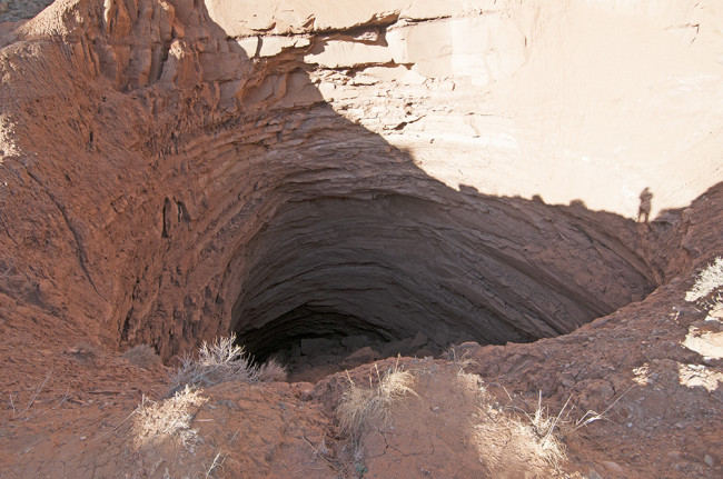
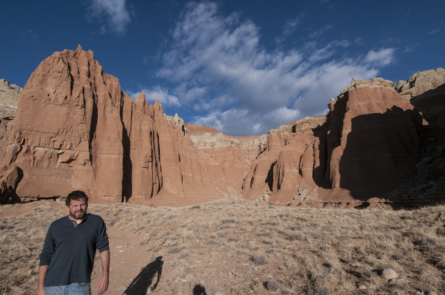
Before we left the park, we stopped at a spot called the Gypsum Sinkhole. I didn’t see any gypsum, but there was a big hole. You can just see Ann’s shadow at the edge of the shadow.
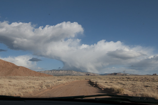
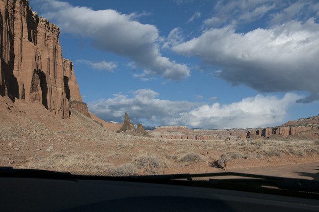
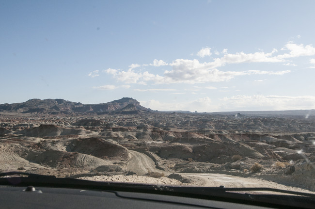
Once we finished with the sink hole, we began our trek north. Our first task was to find Lower Last Chance Loop. On our way there we had to pass over tight hills and through ravines and washes.
Eventually we reached Lower Last Chance Loop, a much smoother and straight road than we’d seen since the previous day. Along Last Chance we encountered several intersections that were unmarked. We did our best to harmonize the map, the compass and the intersections, but it wasn’t always easy. At many places there were no signs to help orient travelers (which made it all the more fun to me).
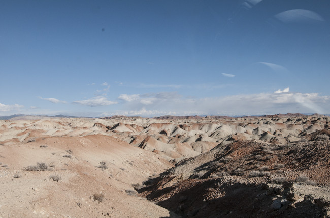
After roughly a half hour of driving Last Chance the road became lined with large pieces of shale. A hill dropped before us into a valley full of tiny cones.
As we wound down amongst the cones we were surprise to see broken glass everywhere. Puzzled, we stopped and walked amongst the hills. That’s when we discovered it wasn’t broken glass, but rather a layer of naturally occurring clear crystal or rock. Some of it was wedged between shale; other pieces had broken free and were see-through. Cool stuff!
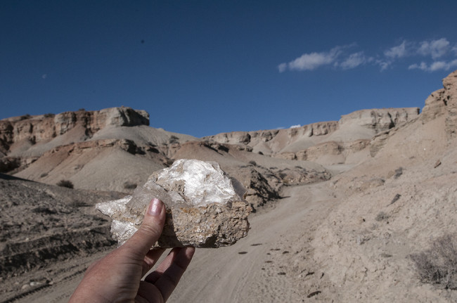
You can’t really see in this picture, but glossy white piece in the rock is see-through. Beyond the rock you can see how the tight road wound through the cones. I thought I had taken more pics of this area, but I couldn’t find them. I guess the shiny glass distracted us!!
After ‘broken glass valley’, the road turned into a smooth, graded dirt road. Eventually we turned off Last Chance Loop Road onto Willow Springs Wash Rd. It took us the remainder of the way to I-70. While the last of the drive was pretty, we’d taken so many pictures of rocks I guess we were done, so the only pics we took were at the end of the drive near the entrance at I-70. Amazingly, well refreshingly, we didn’t pass a single vehicle during our drive north.
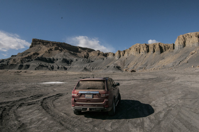
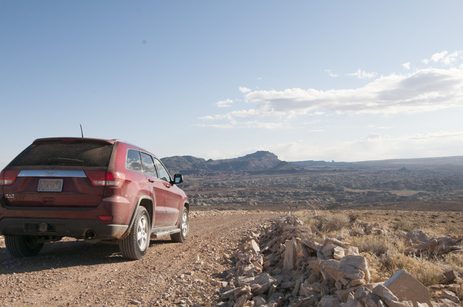
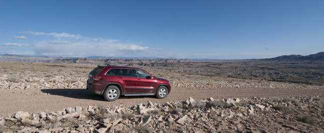
Ann’s camera took this really dark, so I’ve lightened it up as best I could. The jeep is pointed south and I-70 is right behind us. Henry is parked in a huge gray gravel that marks the beginning of the road, complete with warning signs about the rough roads ahead.
Thus, we reached the end of our dirt travels. Henry performed well. The suspension was stiff enough for me to feel the wheels, yet was soft enough for me to forget I was driving a jeep. For me it’s a great sweet spot. While the jeep doesn’t have low range, I could see opting for it next time; there were a couple really bumpy spots where traveling slower would have been ideal. But, I think we can deal with Henry until Jeep recognizes the value of having me test drive their jeeps . . . hint, hint Jeep!
Once on I-70, we zipped to Salt Lake City, some dinner, and a motel room
Though our offroad warrior adventures were completed for this trip, we still had one more challenge: Could I fit the two Terra Tires I bought in Boise into Henry? That story tomorrow.
<– Day 14 – March 31: From Wolverine Loop to Cathedral Valley | Overview | Day 16 & 17 – Burgers and the Terra Tires Challenge –>
Have Ann or you ever thought about working for Jeep as a press photographer? You guys take some good shots. Hope your trip is doing well!
If they want to sign us up, we’ll give it a go! Glad you enjoy the pictures